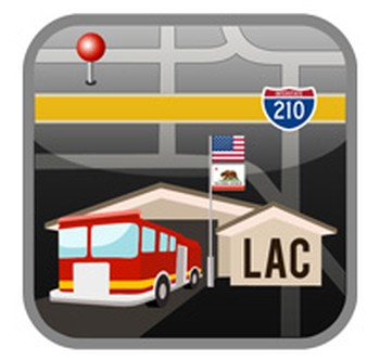
FIRE STATION DIRECTORY
DOWNLOAD NOW
![]()
![]()
Description
This FREE App is a fire station directory for all Los Angeles County Fire Department Fire Stations, Camps, Training centers, and select Admin sites. It provides addresses, business phone numbers, resident phone numbers, TB Grid & Page, and will allow you to navigate to the selected fire station via your GPS-enabled mapping app with one touch. Fire Stations can also be sorted by Battalion and Proximity to your location.
This App is sponsored by the Los Angeles County Firefighters’ Association in conjunction with ForceReadiness.com.
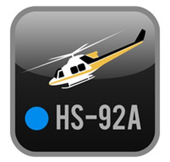
HELISPOT DIRECTORY
DOWNLOAD NOW
![]()
![]()
Description
The Helispot App provides locations and vital information relating to the approved helispots used by the Los Angeles County fire Department. The user will be able to sort the helispots by battalion, proximity, day-use, night-use, and portable tank sites. In addition the user will be able to display their current Latitude and Longitude for relaying to assisting aircraft.
This App is sponsored by the Los Angeles County Firefighters’ Association and the Los Angeles County Fire Department Association of Fire Chiefs.
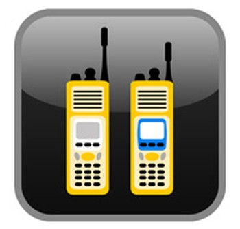
TMAC 12
DOWNLOAD NOW
![]()
![]()
Description
The TMAC 12 (Tactical Mutual Aid Communications – 2012) App organizes radio frequencies into various zones that the Los Angeles County Fire Department utilizies to communicate between Los Angeles County Firefighters and cooperating agencies. The TMAC 12 App assists the user by rapidly locating and displaying radio channel information, such as which repeaters to access and which zone to utilize. The user will be able to sort the zones by UHF, VHF, and 800 mhz frequencies. This app also features training materials on how to utilize the radios used by Los Angeles County Firefighters.
This App is sponsored by the Los Angeles County Firefighters’ Association and the Los Angeles County Fire Department Association of Fire Chiefs.
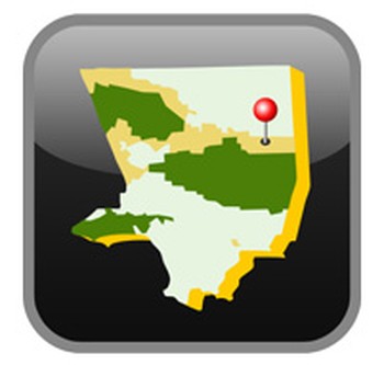
SIT/STAT
DOWNLOAD NOW
![]()
![]()
Description
The SIT/STAT App (Formerly SRA/FRA) allows users to access information critical to early incident response. Users current location is displayed in relationship to SRA/FRA, IAZs, and FWFZs. These areas determine who has primary responsibility SRA/FRA), which agencies are responding (IAZs) and what weather stations are closest to wildland fires within Los Angeles County. RAWS (Remote Automated Weather Stations) information can be accessed to inform users of the current weather conditions affecting the incident. Fire Weather Forecasts are sent to the users device daily. Users can review the Fire Danger Pocket Cards alerting them of dangerous fire conditions.
This App is sponsored by the Los Angeles County Firefighters’ Association and the Los Angeles County Fire Department Association of Fire Chiefs.
MDT GUIDE
DOWNLOAD NOW
![]()
![]()
Description
The MDT Guide app provides common commands specifically used for the Los Angeles County Fire Department’s Mobile Data Terminals (MDT). The user will be able to sort, search and bookmark the various MDT commands.
This App is sponsored by the Los Angeles County Firefighters’ Association and the Los Angeles County Fire Department Association of Fire Chiefs.